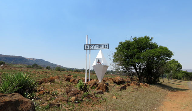
The name is of Zulu origin, it is said by some to mean ‘beautiful place’, and by others ‘place of dispute’. Roughly 26km east of Vryheid, lies the rural village of Hlobane – little more than a train station and a local school.
Like much of the countryside in this part of KwaZulu-Natal, the area is home to a Battlefield that lies at the foot of the Hlobane Mountain.
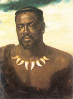
Hlobane was the site of a British disaster in March 1879 when mounted troops led by Lt. Col. Redvers Buller, tried to ambush the Mountain, then a hiding place of the abaQulusi people, descendants of the Zulu royal homestead, abaQulusi (loyal to the Zulu crown and part of the resistance to the British invasion of northern Zululand). The abaQulusi lived in homes in the Valley below, but when threatened they and their cattle would head up the narrow paths to the summit of the Mountain, a rather uneven, flat-topped plateau.
Walking Hlobane is best left for toughened hikers and hill-walkers, as the track onto the summit is no longer maintained now that the coal mine is closed.
But the walk is worth it as the scenery from the summit of the Mountain is said to be breath taking, somewhat peaceful!
A visit to the battlefield, then, involves a guide and permission from the private Mine on whose property Hlobane Mountain and the Battlefield now rest.