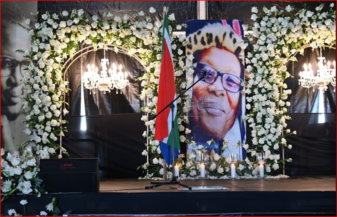
Empangeni, a town about 160 km from Durban on the R34 just off the N2, is positioned in the hilly countryside of the Uthungulu district. The area around Empangeni brings to mind sugarcane plantations and hot, sticky, languid days. It is only 15 km away are the townships of: Esikhawini, Vulindlela, Felixton, Nseleni and Ngwelezane. These make these make up the City of uMhlathuze.
Empangeni was originally the site of a Norwegian Mission station established near the stream called: 'eMpangeni'. The mission was later moved to Eshowe but a magistracy, called 'Empangeni', was established here in 1894. The name Empangeni, according to folklore, comes from the Zulu word ‘pangaed’- which means ‘grabbed’. This thought to refer to the number of crocodile attacks on water bearers in the nearby eMpangeni stream.
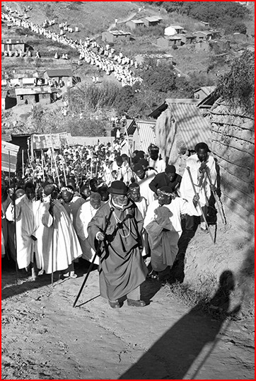
The town is a centre for sugar, cotton, cattle and timber and despite its development into a modern town, it has retained its small town charm and locals are hospitable in true Zululand style. The temperatures here rise to as high as 45° Celsius and combined with the notorious humidity of the region, necessitate the purchase of sunscreen. This subtropical climate does make it a perfect all year round destination.
The Enseleni Nature Reserve is about 13 km north of Empangeni and offers a 7km hiking trail in amongst the local animal life, mostly zebra and impala, and a number of picnic spots. Empangeni’s museum is worth a visit to track the history of early sugar pioneers. "The are also magnificent local Zulu cultural and contemporary art displays!" Also available is an impressive 18-hole Empangeni Golf Course for golf enthusiasts. Empangeni forms the gateway to the reserves of Hluhluwe and Umfolozi Reserves and is a good stopover before venturing further a field.
Prince Buthelezi Mall is nearing completion in Empangeni, KwaZulu-Natal and is set to open at the end of April 2026. (LINK IN FURTHER READING)