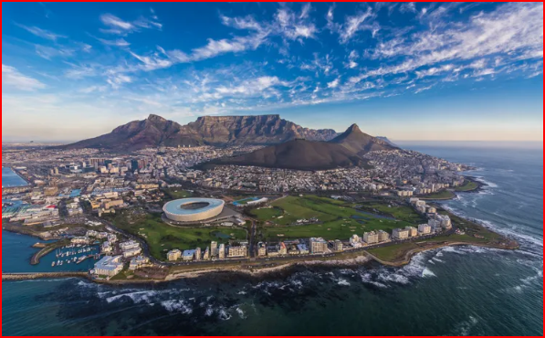
Claremont, a Suburb in Cape Town, is situated North of Kenilworth, East of Bishopscourt and South of Newlands in the Western Cape Province. The name is French for ‘clear mountain’. Claremont was demarcated into two fragments; Lower and Upper Claremont.
Prior to forced removals under the Group Areas Act, Lower Claremont was a multi-racial and religiously diverse community consisting of: Coloureds; Whites; Blacks; Christians and Muslims. The area, of which the suburb of Harfield was the largest part, was popular because of its proximity to buses and trains which people used as transport to work throughout the City. Moreover, Lower Claremont comprised of independent infrastructure which contained over 40 shops and small businesses. 2nd Avenue, which runs the length of Harfield (now known as Harfield Village) served as a central hub of economic and social activity in Harfield or Lower Claremont, and was populated with small, independent stores such as general dealers, butchers, tailors, dairies, and the like. Some of these shops had been in existence for over 60 years and were lucrative family businesses of inhabitants in the area. The community had more than ten schools including the prestigious Livingstone High School.
Origins
The first Estates emerged in Claremont in the early 1800's when predominantly British settlers purchased ‘countryside’ properties. Claremont Village began to emerge therefrom, with the area being named after the expansive Claremont House Estate located in the area. John Molteno, who later became the first prime minister of the Cape Colony, purchased 140 acres of the estate.
Lower Claremont was occupied at first by a small number of cottages where the working-class residents lived, and the area expanded after the installation of the railway line running from Wynberg to Cape Town in 1864. All of the cottages were occupied by, according to official government terminology of the time, ‘non-Europeans’. The area’s population grew gradually, and by 1883 Lower Claremont was incorporated into the newly formed Liesbeeck municipality along with Upper Claremont, Newlands, Rondebosch, Wynberg and Mowbray.
Upper Claremont consisted of over 150 Coloured inhabitants, the majority of whom resided in the the Kirstenbosch and Protea Road areas. (Residents here were considered more affluent than those in Lower Claremont.)
Upper Claremont and Lower Claremont become an official suburb
Claremont Main Road quickly progressed into a commercial centre, thus attracting more people to the area. In 1890 the entire Claremont area, above and below the Railway Line, was granted separate Municipal status, and ultimately became a Suburb of greater Cape Town in 1913.
Housing in Claremont
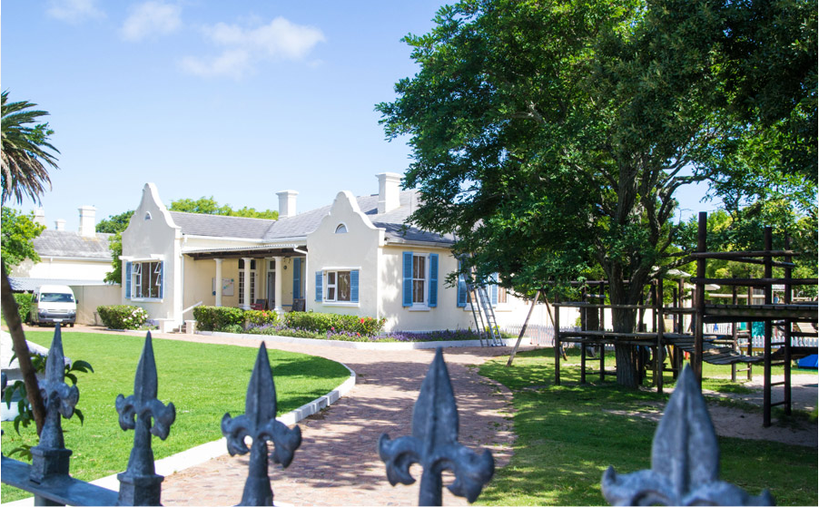
Claremont housing was diverse, but many were of the one-room cottage variety, constructed with poorly fabricated clay bricks which were porous and prone to rising damp. The homes were often relatively crowded, though oral testimonies from former residents speak fondly of the homes filled with family and visiting neighbours. Many homes had no electricity supply or indoor toilets, and during the heavy winter rainfalls, things were often especially difficult. Given the inadequate material used for their houses, they were easily destroyed by water. Landlords were reluctant to make any improvements. The houses were largely rented, rather than owned, by most of the Lower Claremont inhabitants, making the forced removals of later years easier for the apartheid government to execute. Often a single wealthy landlord would own multiple properties in Lower Claremont, and when the residents were forced out the area the properties were renovated and rented or sold to the new white residents.
Culture
Because of the cosmopolitan nature of the area, Lower Claremont was rich with cultural diversity and influence. Well-known musicians resided in the area, such as jazz musicians Errol and Alvin Dyers, hailed from Lower Claremont. The area was also home to sports personalities, stage icons and other persons of influence. Music formed an important part of the Lower Claremont Landscape, and Second Avenue was well-known for its musical parades and cultural displays. From the Atchar (a savoury pickle), to what is now the Cape Minstrels. Second Avenue served as the entertainment hub for residents of Lower Claremont. Well-known school and site of political activism against the apartheid regime, Livingstone High School, is located at the Lansdowne end of Second Avenue.
Religious festivities were regular in Claremont, with Muslims and Christians living side-by-side. Many former residents talk of religious tolerance and occasional attendance at one another’s places of worship – including Muslim altar servers at the Anglican church and Christian visitors to the Harvey Road Mosque. Some Muslim residents talked of attending social events hosted by Jewish youths and there being widespread tolerance until deliberate separation by apartheid officials.
Social activities most commonly were centred on cinema visits to establishments like the Luxurama in Wynberg, or locally hosted movies such as the church ‘cinema’ or those hosted in private residences. Also popular were dances, which were often attended by white youths as well as those of colour – until being broken up by police for encouraging multi-ethnic socialising.
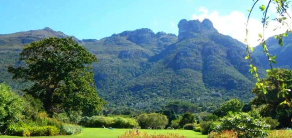
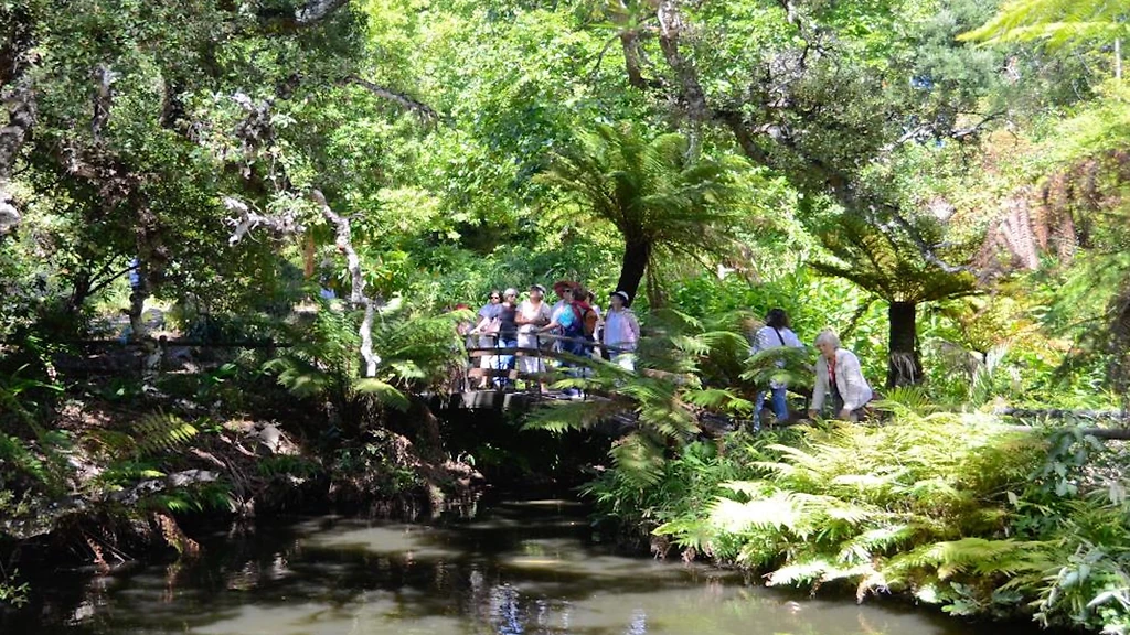
Arderne Gardens was also a popular place for daytime visits, was established in 1845 and still in existence today! It is extremely popular – much as it remains today – for wedding photo shoots. This popular Claremont park began as part of the original Stellenberg Estate, acquired by Ralph Henry Arderne, in 1845. He renamed the property; ‘The Hill’ and with his eldest son Matthew, set out to build a garden stocked with flora from around the world. Many of the specimens still growing here were sourced from Australian and New Zealand trader ships, exchanged for local plants. After ‘The Hill’ was sold in 1914, a 4.5-hectare portion was registered in favour of the City of Cape Town in July 1928. In 1961, that section was re-imagined into what’s now Arderne Gardens. It’s a national monument, and some individual trees carry national protection, including six officially recognised Champion Trees. These are: a Moreton Bay fig (the largest in the Western Cape and one of the four largest in South Africa); a notably large Norfolk Island pine; a Turkish oak; a Queensland Kauri; an Aleppo pine and a Cork oak. These trees, along with four others, were proudly designated 'Champion Trees' in 2008. In addition, the rapidly-expanding shopping district around Claremont Main Road was regularly visited by residents for ‘window shopping’, most frequently on Sundays.
Sports formed an extremely important part of Claremont’s cultural activities, with a wide variety of sports pursued by local residents. Rugby and cricket were particular favourites and some local residents excelled. They were often limited, however, by apartheid regulation prohibiting non-white South Africans from participating in sports on a professional level. Children spent their daytimes playing sports in the small streets and open field areas of Lower Claremont, where they also played common games such as ‘kennetjie’, ‘bok-bok’, and the like.
Claremont proclaimed a ‘White area’ -In 1953 the Apartheid government began to express concerns about the squatting of African families in Cape Town suburbs. Claremont was identified as a ‘black spot’ following a visit to the area by a government official who regarded Claremont apt to become a White area. He allegedly indicated that the government would rid Claremont of Black and Coloured inhabitants.
A considerable number of African families lived in and around an area known as Princess Square, a small area of homes characterised by informal housing. They became the first group in Lower Claremont to fall victim to apartheid laws instituted by the government – one of these laws was the Black Land Act of June 1913. The Act prohibited Blacks from owning or renting land outside designated reserves. In addition the Natives (Black) Urban Areas Act equally regulated African occupation in urban areas. It gave local authorities the power to demarcate and establish African locations on the outskirts of White urban and industrial areas, and to determine access to, and the funding of, these areas.
In November 1969 Lower Claremont was declared a White area. A large number of people from the community were affected. The evictees consisted of homeowners, as well as tenants from White and Indian landlords or the City Council. In addition, Indian property owners were forced to sell to Whites because they could not own property in a ‘White area’.
White owners promptly renovated the properties and sold them at a profit. Despite this, rent was exorbitantly high for these renovated properties forcing the City Council to sell to property developers. As a result many houses were destroyed and replaced with blocks of flats.
Evictions commence in the entire Claremont
After Claremont was declared a White area, Lower Claremont was renamed Harfield Village. The Group Areas Act and forced removals destabilised Claremont, due to the escalating of crime in the 1970s and 1980s when the removals took place. A large part of the Coloured community of Claremont was segregated and relocated to new homes all over the Cape Flats area - Manenberg, Hanover Park, Mitchells Plain, Lavender Hill, Grassy Park , and even as far as Atlantis on the West Coast.
Estate agents bullied many home owners into selling their properties. The home owners acceded because they felt intimidated. According to a former resident in Claremont, officials from the Group Areas Board came and valued people’s houses – for example a three bedroom house could be valued at R3 000. Home owners were made cash offers a little above the board valuation. Once a house was sold a time limit would be set on moving. A seller was penalized 25% on any profit made above the valuation price for every year that he or she stayed on.
The elderly were particularly vulnerable. They felt degraded and dehumanised because they were pensioners and too old to start again.
Home owners were the first to move out and Whites gradually started to take their place. Back yard tenants were issued with eviction notices by the Department of Community Development officials. Only registered tenants were permitted to stay.
Residents submit their claims
In the years following the removals Claremont residents finally triumphed over the evictions. In September 1999, the first land and property claims were settled, though few have been able to return to the neighbourhood as property prices in the area grew rapidly in the 1990s and 2000s. The Many residents and their descendants still attend religious services at the churches and mosques in Claremont, particularly St Matthews Church on Second Avenue and the Harvey Road Mosque on Harvey Road.
Arderne Gardens
Claremont’s Arderne Gardens was established in the late 19th century by a British botanist and boasts a stunning collection of trees and plants from all over the world.
The garden is home to more than 300 different tree species, including some of the oldest and rarest specimens in the country.
The garden’s well-maintained pathways provide visitors with a peaceful place to enjoy a leisurely stroll. The garden also features a large pond that is home to several species of fish, ducks and geese.