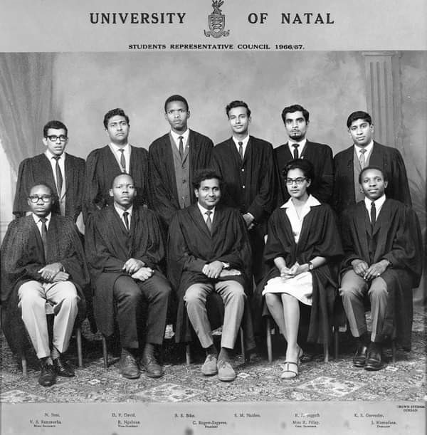
The Moravian Mission Station of Goedverwacht, is nestled between the Piketberg Mountains and is accessed by an excellent tarred road off the R399, between Piketberg and Velddrif. It was established in 1889 as a Moravian Mission Station and has a fascinating story!
Additional Date: June 25, 1993
On 25 June 1993, hundreds of armed white separatists together with the Afrikaner Weerstandsbeweging (Afrikaner Resistance Movement - AWB) stormed the World Trade Centre in Kempton Park, Johannesburg, Transvaal (now Gauteng) where negotiations for the constitutional transition towards democracy in South Africa were being held.
The group used a truck and smashed through the plate-glass at the venue and destroyed it, leaving most people traumatized as they (the AWB members) were carrying shotguns and pistols. The attack was an act to express their rejection of the negotiations and the desired move to usher in a more inclusive South Africa. This action was due to their bitterness towards the impending black majority rule as they were demanding a separate Afrikaner homeland, whereby they could practice self-governance and be self-sufficient. This was in direct opposition to the efforts that were being made to unify all South African’s under one banner.
In 1993, South Africa experienced much violence and uncertainty. The country faced violent clashes between the African National Congress (ANC ) and the Inkatha Freedom Party (IFP) in Kwazulu-Natal (KZN). The assassination of Chris Hani, a popular ANC leader, at his home in Benoni, Johannesburg, in April 1993 further catapulted the notion of successful negotiations into doubt[h1] . This attack also inadvertently helped the negotiations to move forward. President-to-be Nelson Mandela immediately flew back home from a vacation and demanded that the transition be accelerated. On the other hand, F.W de Klerk publicly condemned the attack on live television, directly addressing the attackers.
This action was meant to disrupt the proceedings but it backfired. It discredited the conservative Afrikaner right wingers when they were trying to unify and present themselves as a serious and respectable section of the South African public. The incident also exemplified the difference in treatment of White people compared to Black people in the country. Mandela highlighted this when he said that the police would have reacted with a lot more force and fired their guns at the crowd if the attackers were Black. However, government officials rejected this by defending the police and saying if they had acted differently, there would’ve been a bloodbath. De Klerk also promised to arrest and charge both the individuals and leaders of the attack.
To view what happened follow the link
https://www.youtube.com/watch?v=hnOmaJYiDh0&feature=youtu.be
https://www.youtube.com/watch?v=v7KjCugQhX4&feature=youtu.be
Police swoop by Ernest Cole
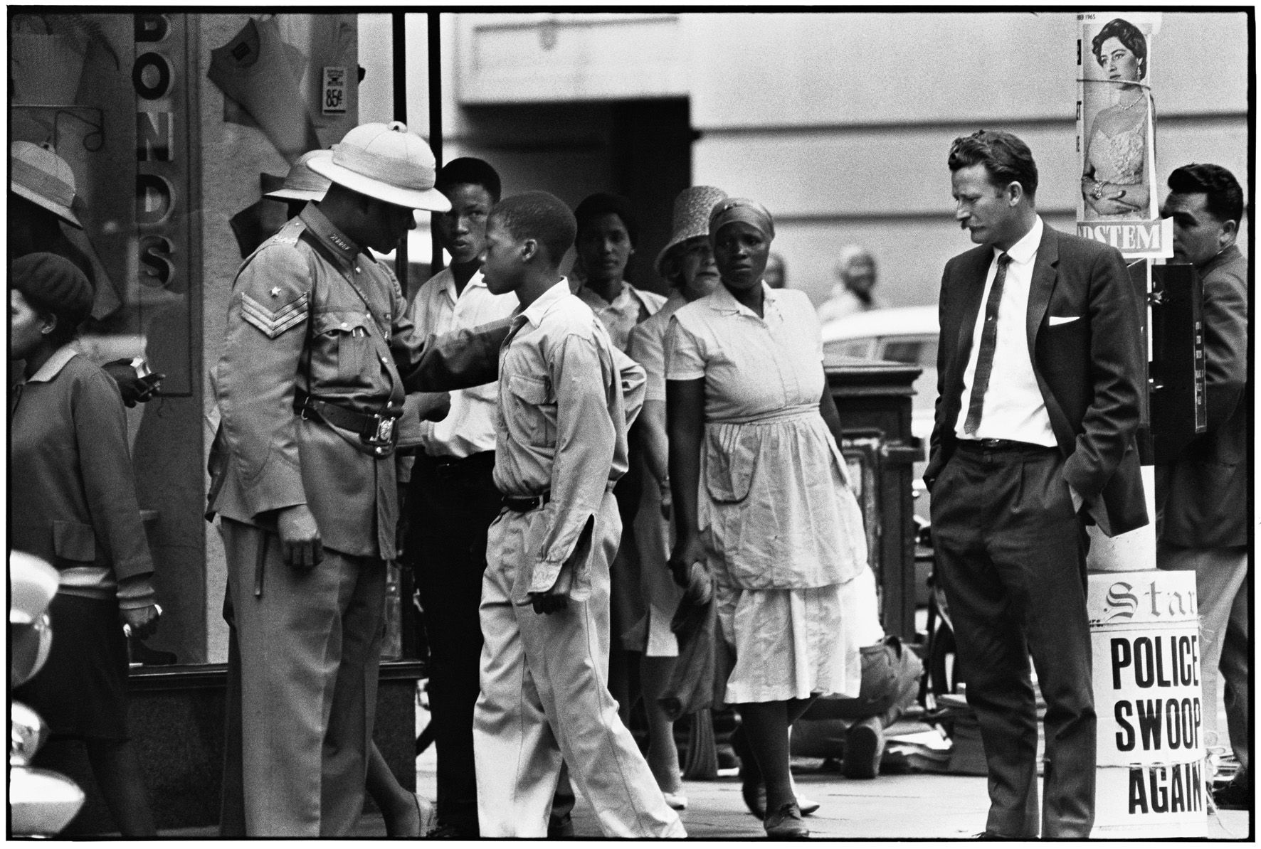
Police “swoop.” During a swoop, police are everywhere, checking individuals’ passes. A young boy is stopped and asked for his pass as a white plainclothesman looks on.
Music is not a zero sum game with only one ‘best’. But if you seek to name one musician whose life embodies the South African people’s struggle for a national culture, it must be trombonist, composer and cultural activist Jonas Mosa Gwangwa, who was born on 19 October 1937 in Orlando East, Johannesburg, and died on 23 January 2021 in Johannesburg aged 83.